 Project Details
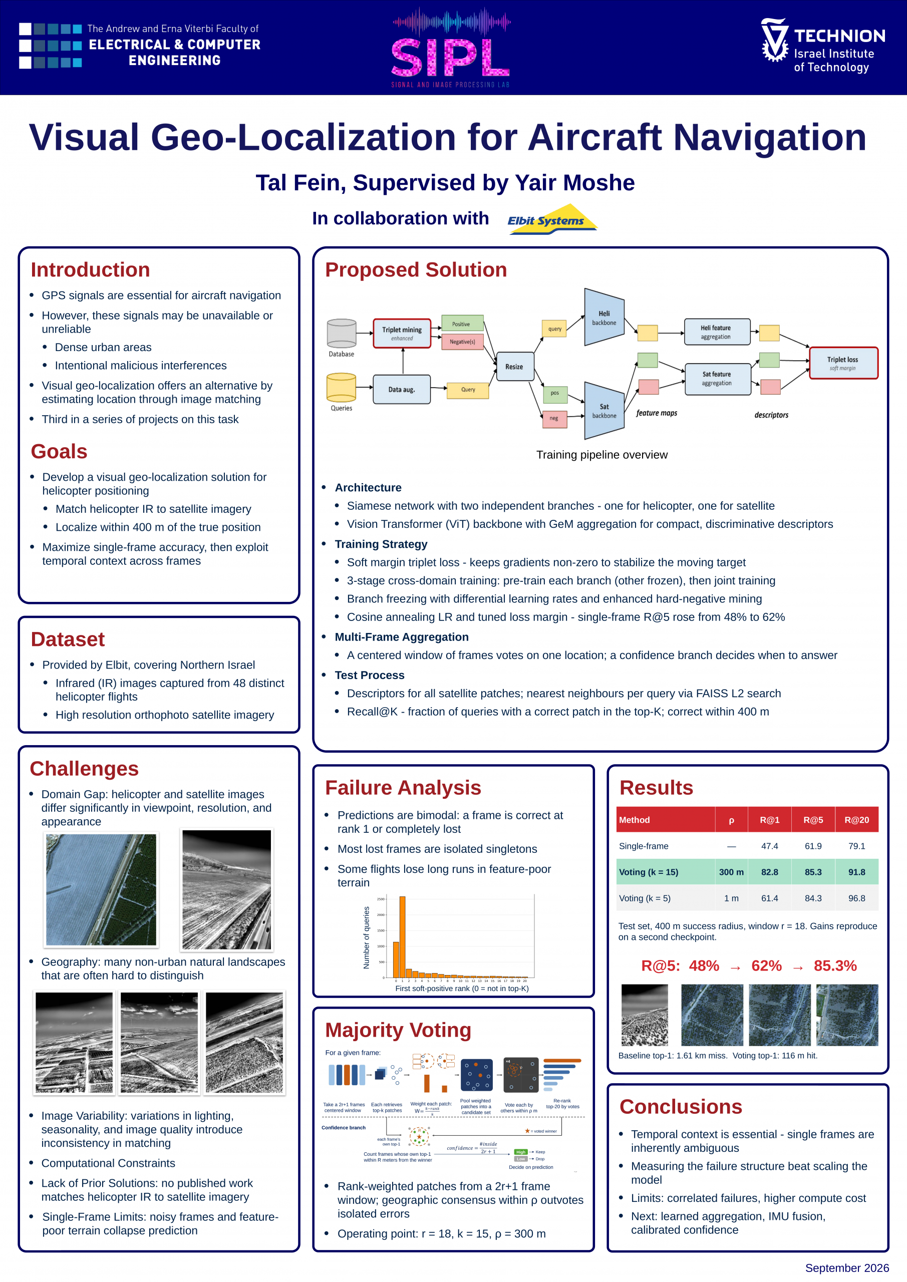
This project is a direct continuation of Project A, in which a visual geo-localization system for a helicopter was developed by matching infrared imagery captured from the aircraft against a satellite orthophoto database. That system was built on a two-branch Siamese network with a Vision Transformer backbone, and issued a retrieval based on a single frame. In the present project we identified single-frame retrieval as the principal performance bottleneck: a statistical analysis of the failures revealed a bimodal distribution - most frames are either retrieved at rank one or missed entirely - and showed that a large share of the misses are isolated frames surrounded by correct ones. Building on this finding, we developed a multi-frame post-processing stage: a centered window of consecutive frames, rank-based weighting of retrieved candidates, spatial majority voting for re-ranking, and a confidence branch that allows the system to abstain when no spatial consensus is reached. In parallel we improved the single-frame pipeline itself through cosine-annealing learning-rate scheduling and hyperparameter tuning. R@5 rose from 48% to 62% for the single-frame approach and to 85.3% after multi-frame aggregation, while R@1 rose from 47.4% to 82.8%.